
The eGAFOR Project
The idea for the eGAFOR Project arose from the need to provide faster and better weather services to general aviation users. Currently general aviation users in Europe have very different and un-harmonized meteorological products available, primarily due to a large number of countries, different forecasting areas, un-harmonized forecasting methods and different meteorological products. On the other hand, general aviation is the most sensitive and most vulnerable part of aviation to hazardous weather phenomena.
The goal of the eGAFOR Project is to provide general aviation pilots with easily understandable meteorological information on the condition of a particular route, and it is based on the co-operation of aviation meteorological service providers in Central and Southeastern Europe.
Due to the Project goal – easier informing and flight preparation and better connectivity between countries – the Innovation and Networks Executive Agency (INEA), the European Commission body, has recognized the eGAFOR Project and is co-financing it with 85% through the CEF Transport Call 2016.
The result of the Project will be the eGAFOR forecast – a uniform graphical forecast of meteorological phenomena hazardous for aviation on the general aviation route network that will be available to users through this website upon completion of the Project.
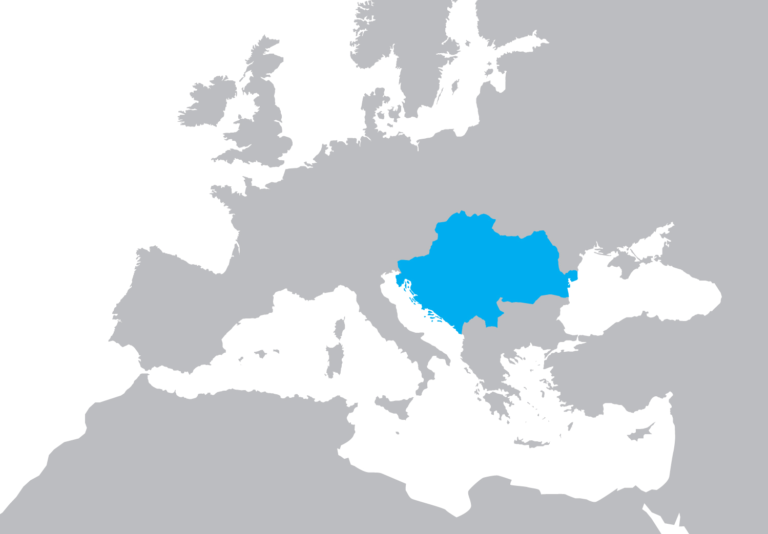
The countries participating in the Project are Bosnia and Herzegovina, Croatia, Hungary, Montenegro, Romania, Serbia, Slovakia and Slovenia.
Project partners are:
CCL (Croatia) – the initiator and lead partner of the Project
ARSO (Slovenia)
BHANSA (Bosnia and Herzegovina)
OMSZ (Hungary)
ROMATSA (Romania)
SHMU (Slovakia)
SMATSA (Serbia and Montenegro)
IBL (Slovakia) – an industrial partner
The eGAFOR Project started on 03.07.2017 and will end on 31.12.2020.
Disclaimer: The map above shows only the territorial scope of the eGAFOR Project and does not reflect the state borders of individual states.